Camino Frances route map
The Camino Frances is the most popular Way out of all the different Camino’s, as such, you have a lot of options for navigating it. In this post, I share the options that I personally used and had a great experience with. Let’s get started!
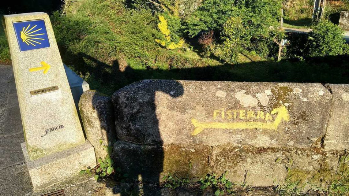
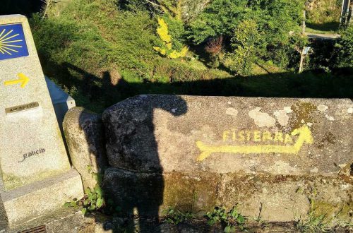
During the actual walking of the Way, you will be guided by the many Yellow arrows and waymarkers along the trail. Look out for any shells and yellow arrows, and you will be okay for 99% of the time. The navigation apps or guidebooks are more for your day-to-day planning and getting a real feel of how long the rest of your day is gonna be.
Quick jump guide
Buen Camino app for Android and IOS
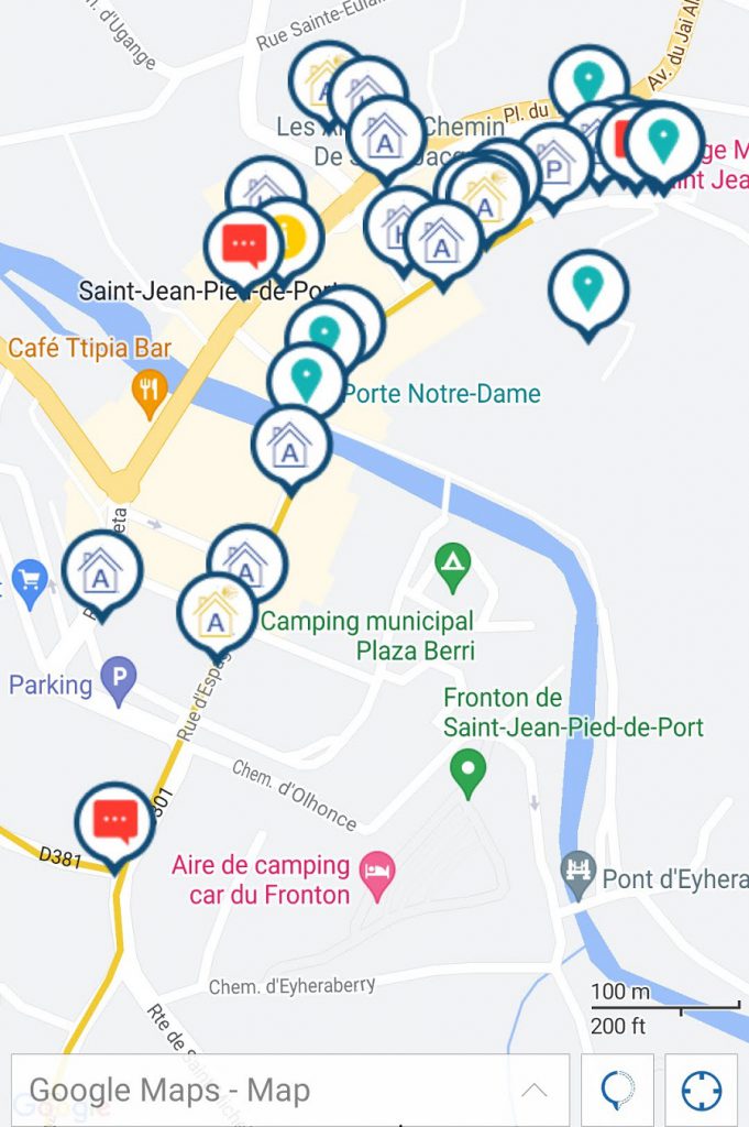
By far the most pleasant to use for beginners is in my opinion the Buen Camino app. The app gives so much more than just the map and route. But also gives you pretty much all the information you need for daily life on the Camino. With extensive information on all the different Albergues or hostels where you can spend the night. To where to step off the trail for a grocery store or other site.
This gives you the option to explore ahead the previous day on the Camino and decide where you wanna stop or take a break. It also gives more information on where to get water or other essentials. And can be therefore a lifesaver with the few stretches that have little water. They also have comments marked in red on the map, where they give you a bit more information about a specific crossing, an alternative way, or anything else that can be important on the way.
The Buen Camino app can be easily installed on Android and IOS, via the app or play store. After that, you can set it up as follows for the Camino Frances.
Download and install the app:
https://play.google.com/store/apps/details?id=com.editorialbuencamino.buencamino&hl=nl&gl=US&pli=1
Start it up in the Language of choice, and follow the steps on screen.
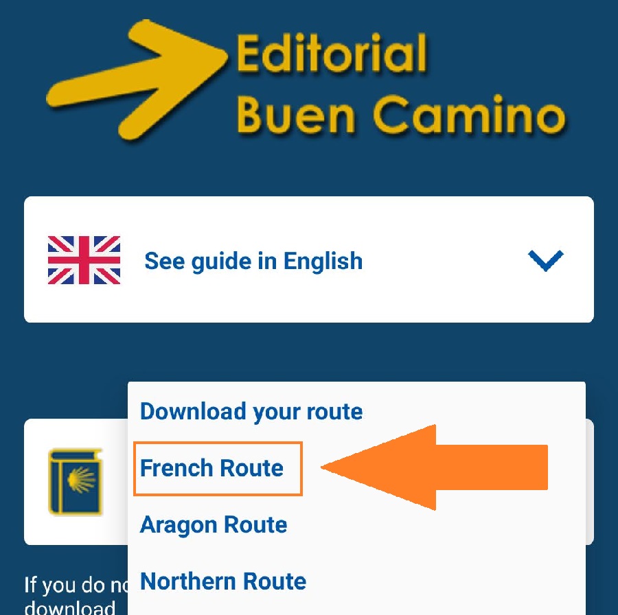
You can download the French Route to get started. After that, you can click on use this route, and accept the terms.
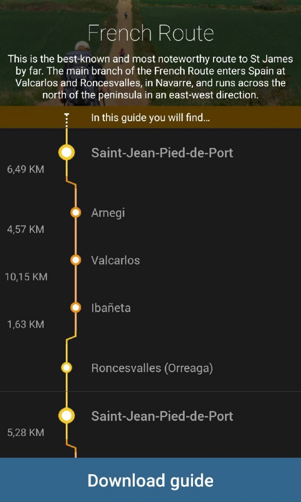
When installed you can view a map of the route, as well as the profile, more information, etc.
Maps.me app with a downloaded GPS (.KML) track
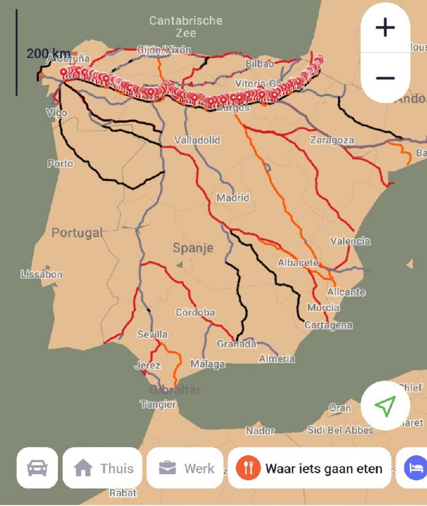
The Maps.me app is an alternative to the Buen Camino app and can be used on its own or as a second opinion to the Buen Camino App. The map can be downloaded offline and as such uses no data. The same is true for the Buen Camino App. It is, therefore, more a matter of preference, and which one you like best. Since they both are not large applications, I liked having both installed to make the most out of both.
What the Maps.me app has going for it, is that is without a lot of the fluff or extra options and information that the Buen Camino app has. For the more experienced pilgrim, this is maybe a bit nicer and can be used to get to the bottom of things.
You can download the Maps.me app via the app store or play store on Android and IOS, and download the offline maps for Spain, the .KML file for the French Way, as well as the Facilities file from the Dutch website Santiago.nl. (A great resource btw). Simply go on your smartphone with Maps.me already installed to the following link, and download the French Way and the Facilities guide. Which is also available in English.
https://www.santiago.nl/downloads/
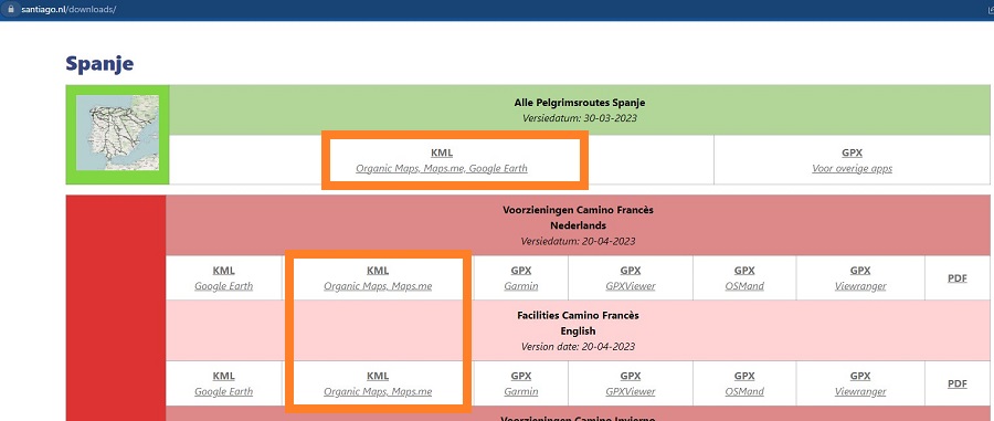
Just simply click on the downloaded files to open them in Maps.me, it saves them, so you don’t need to do that every time. Zoom in to download the local map files you need, this is most of the time under the 100 MB in size. So also not a problem on most mobile plans.
Offline maps and Guide books
I will be honest, as a tech guy that works close to a decade in IT, I think Guide books and maps are redundant on the Camino Frances or any for that matter. You have an opportunity to charge your phone every day, and it is not like it on the Camino where you have to whip it out every 5 minutes to check where you are going. The Way is clearly marked everywhere you turn, and it is only at certain times nice to have with you. The camino’s are after all, not wilderness hikes.
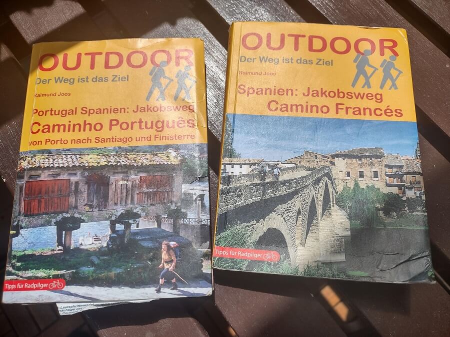
The benefit of carrying a Guide book or an offline map is therefore in my mind marginal. A Guidebook can give you an inside experience from the author. So if you appreciate that, you can choose to bring one. Guidebooks do add a bit of weight, so keep that in mind. And are a single-function item, compared to a smartphone which is your map, camera, telephone, mp3 player, etc.
Feel free to disagree with me on this, however, and share your opinion down below in the comments.
With the apps properly installed, guidebooks, maps, and arrows along the way, it is quite difficult to get lost on the Camino. So set out on your Way without worry, and Hike for Purpose!
Want to know more about what to pack on the Camino? Read my full Camino De Santiago packing list.
Frank
I'm Frank, the main guy and owner of this website. Loves hiking, gear and bushcraft. And can get quite nerdy about them. In the woods several times a week preparing for my next hike. Always searching for another hill, which is quite difficult in the Netherlands. That's why I search around several countries. More about me on the about page.


You May Also Like
Is it easy to get lost on the Camino?
Can you do laundry on the Camino?